
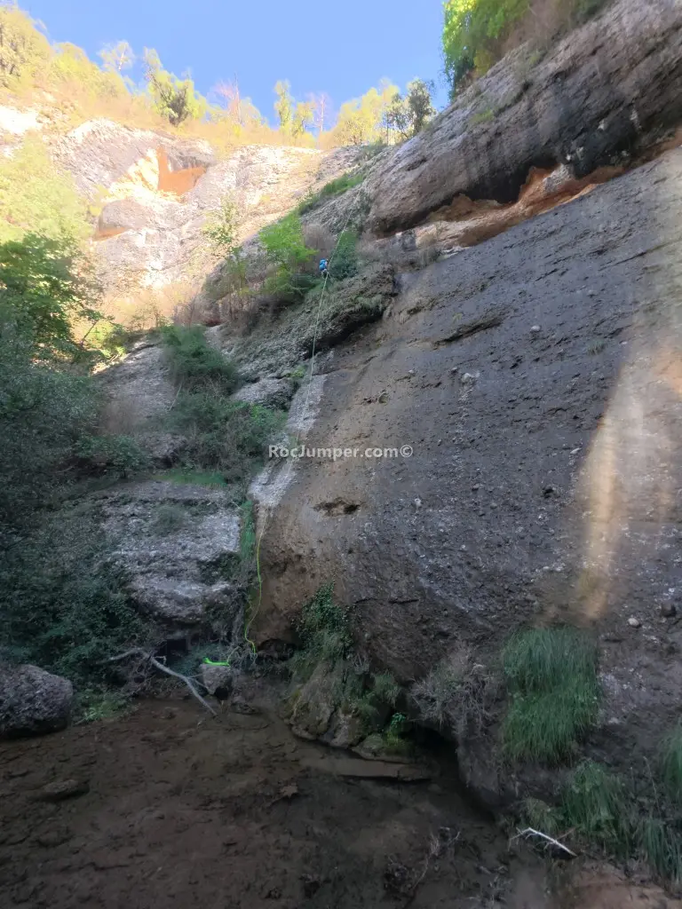
Rasa dels Ternals
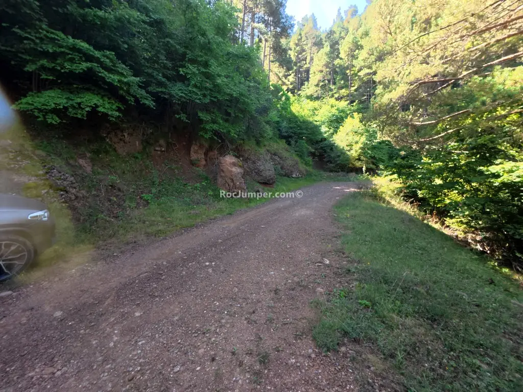
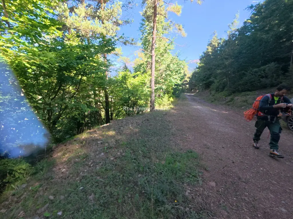
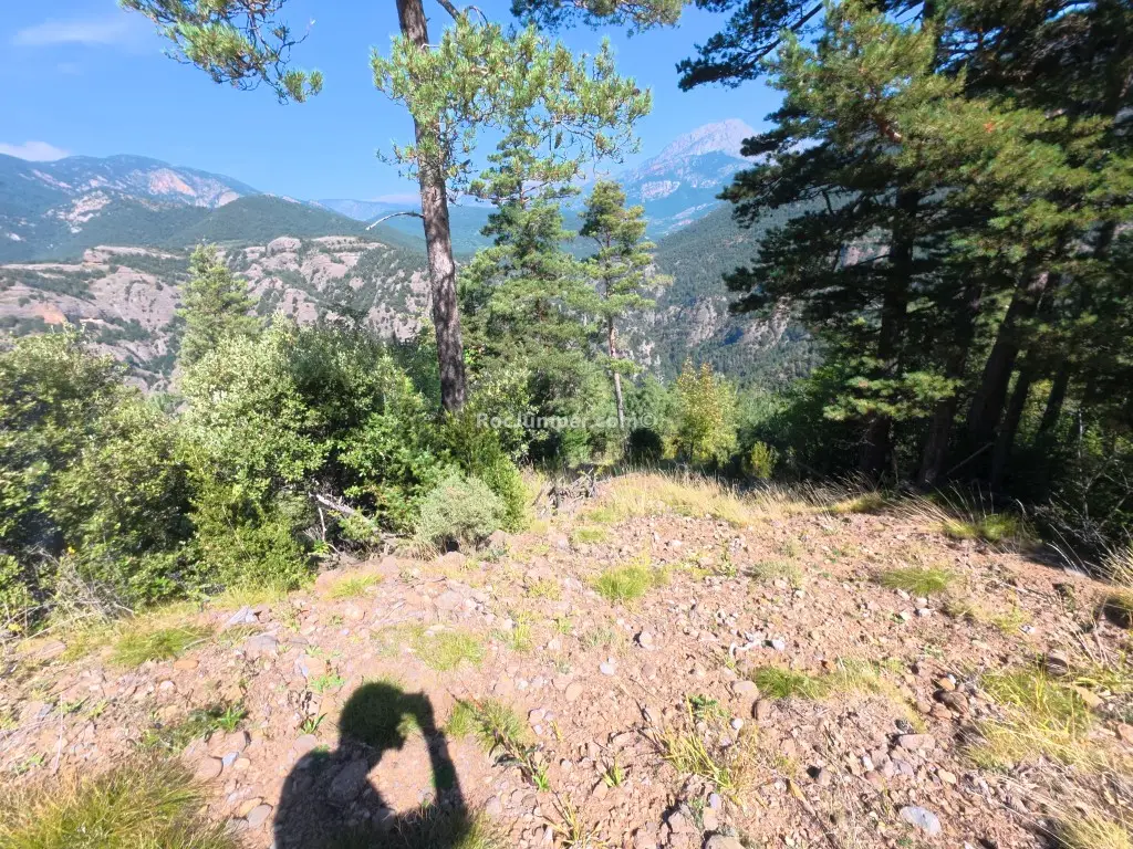
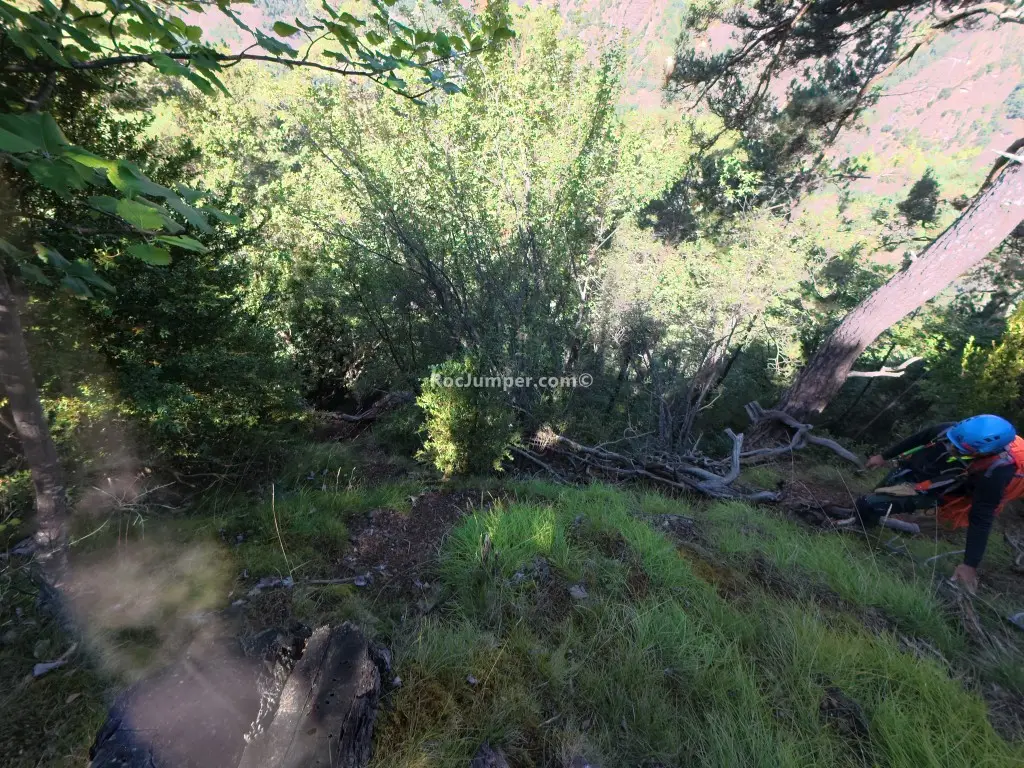
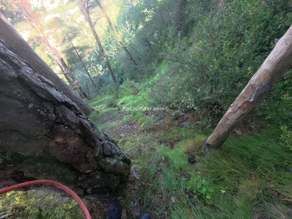
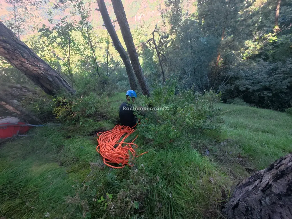
Rasa dels Ternals is a newly opened canyon near Gòsol, offering a technical descent with 12 rappels. Access requires two cars: one at the lower parking near the dam (KM42.5 on the Sant Llorenç de Morunys to Berga road, then towards Sisque and Pont Cabradís), and the other at the upper parking 400m past a torrent after a left turn from Coll de Pedro. The approach from the upper parking takes 20 minutes, following an old track that descends and then veers left. The canyon itself is 400m long with a 320m vertical drop, featuring a 45m longest rappel. The first rappel is 10m from a tree, leading to a slippery, humid section of conglomerate rock. The canyon is generally dry, with water only present after heavy rains, and the final pools are shallow and avoidable. Rated v4-a1-II, this canyon is technically demanding but with minimal aquatic challenges. No wetsuit is needed. Anchors are good, mostly cordino on trees with two stainless steel parabolts. There are three escape routes. The return to the lower car takes only 5 minutes. Two 50m ropes are required.
The facts
- Grade
- v4-a1-II
- Course length
- 400 m
- Vertical drop
- 320 m
- Country
- Spain
- Approach
- 20 min
- In the canyon
- 150 min
- Walk out
- 5 min
- Total
- 175 min
Photos
Photos by Photo © RocJumper
Frequently asked
How hard is Rasa dels Ternals?
Rasa dels Ternals is graded v4-a1-II. The v is the vertical difficulty, the a is how demanding the water is, and the roman numeral is how committing the canyon is once you start.
Where is Rasa dels Ternals?
Rasa dels Ternals is in Spain. The coordinates above open the exact spot on a map.
How long does Rasa dels Ternals take?
About 175 min in total, counting the approach, the canyon itself and the walk back out. Water levels and the size of your group move that either way.
Can I log that I descended Rasa dels Ternals?
Yes. Open Rasa dels Ternals in the app, log the descent with the date and who came along, rate it and add your photos. It then counts on your profile.
Log this descent
Track the canyons you descend, with photos, ratings and the people you went with.
Available on iOS and Android