
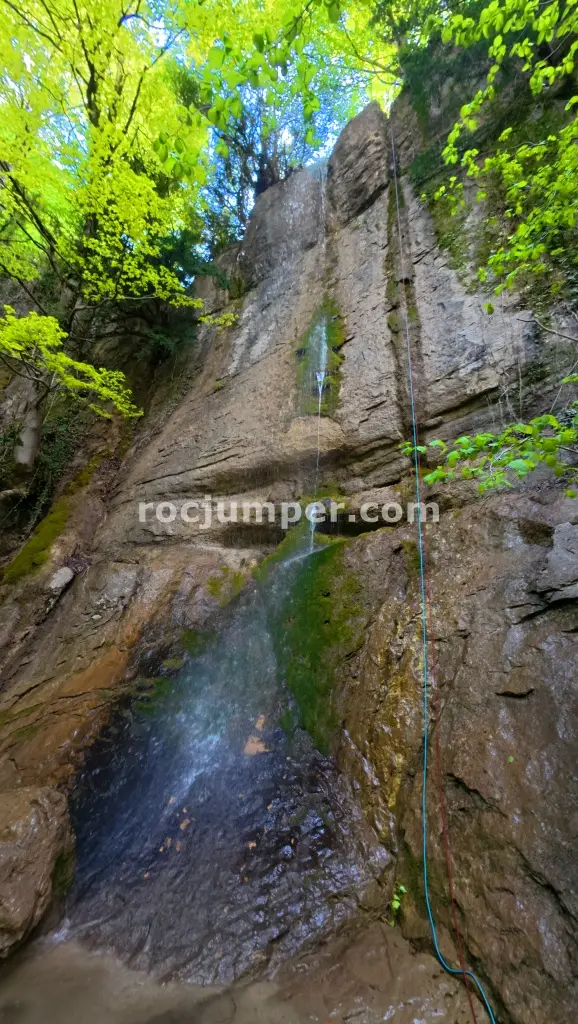
Rec de la Coma + Rec del Toll
The approach to Rec de la Coma and Rec del Toll starts from Ciuret, taking 1 hour 15 minutes along a track that crosses Torrent d’en Bià and leads to an open field with a house and hermitage. The route is usually dry in Torrent d’en Bià, with some water in pools in Rec del Toll. The descent combines two sections, totaling 1050m with a 160m vertical drop. It features 8 rappels, the longest being 22m. Anchors are acceptable, a mix of parabolts and natural points, with some re-equipping done. Rappels include a 3m drop, a 13m drop with options for an tree or bolted anchor, a 9m drop, and a 13m drop with new stainless parabolts replacing oxidized spits. Escape routes are available throughout the canyon. A 30m rope and a peto wetsuit are recommended. The descent takes 2 hours for Rec de la Coma and an additional 30 minutes for Rec del Toll, with a 40-minute return walk.
The facts
- Grade
- v3-a1-I
- Course length
- 1,050 m
- Vertical drop
- 160 m
- Where
- Ciuret, Girona
- Country
- Spain
- Coordinates
- 42.1444, 2.3318
- Approach
- 60 min
- In the canyon
- 120 min
- Walk out
- 40 min
- Total
- 220 min
Photos
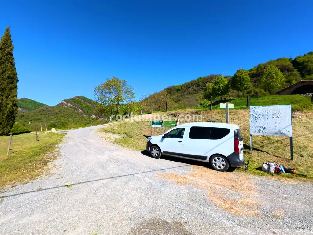
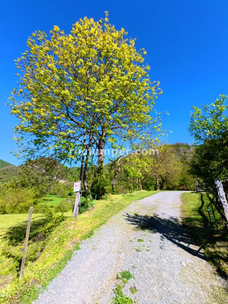
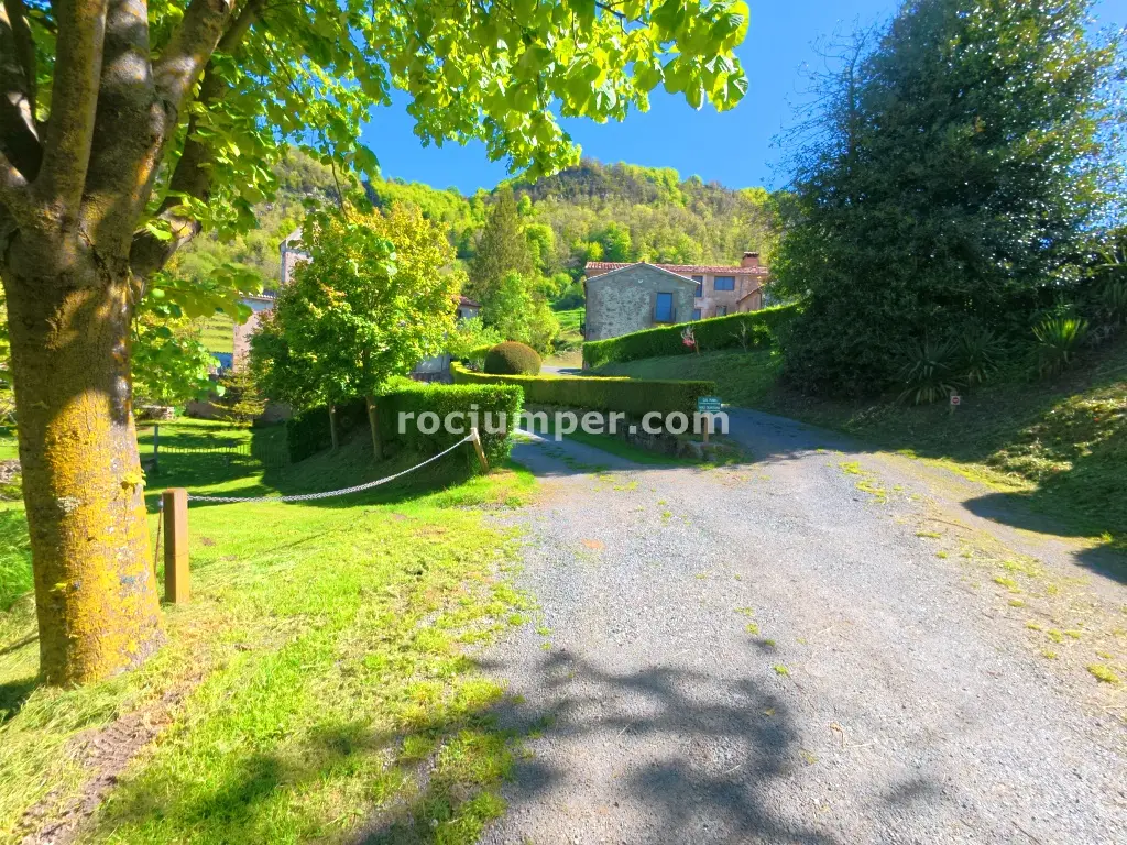
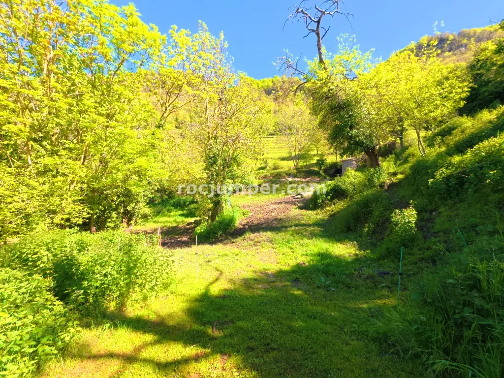
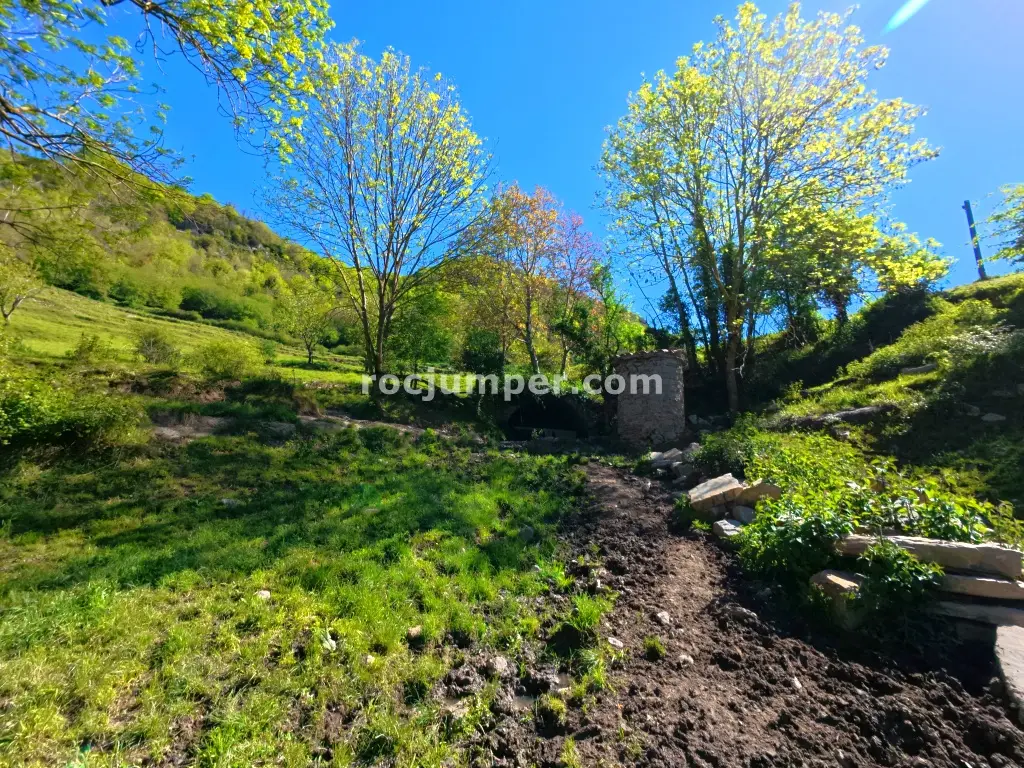

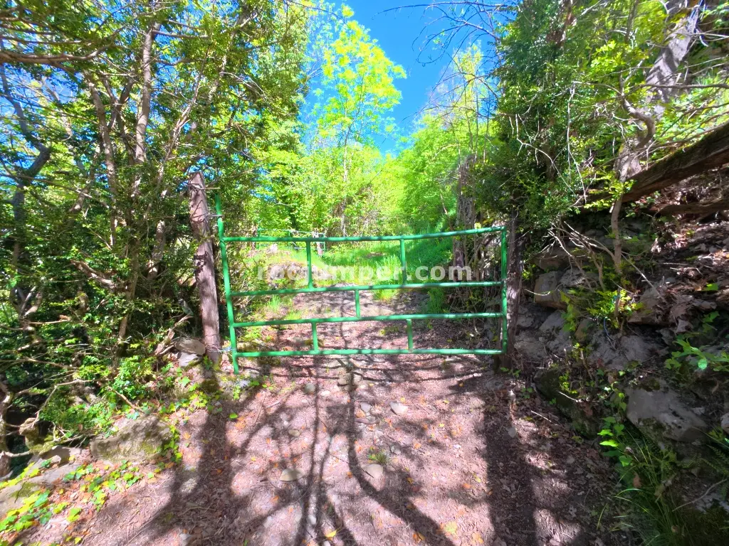
Photos by Photo © RocJumper
Other canyons nearby
Frequently asked
How hard is Rec de la Coma + Rec del Toll?
Rec de la Coma + Rec del Toll is graded v3-a1-I. The v is the vertical difficulty, the a is how demanding the water is, and the roman numeral is how committing the canyon is once you start.
Where is Rec de la Coma + Rec del Toll?
Rec de la Coma + Rec del Toll is in Ciuret, Girona, Spain. The coordinates above open the exact spot on a map.
How long does Rec de la Coma + Rec del Toll take?
About 220 min in total, counting the approach, the canyon itself and the walk back out. Water levels and the size of your group move that either way.
Can I log that I descended Rec de la Coma + Rec del Toll?
Yes. Open Rec de la Coma + Rec del Toll in the app, log the descent with the date and who came along, rate it and add your photos. It then counts on your profile.
Log this descent
Track the canyons you descend, with photos, ratings and the people you went with.
Available on iOS and Android