
Rápeles del Corredor de las Águilas Combinación
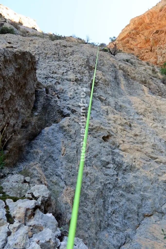
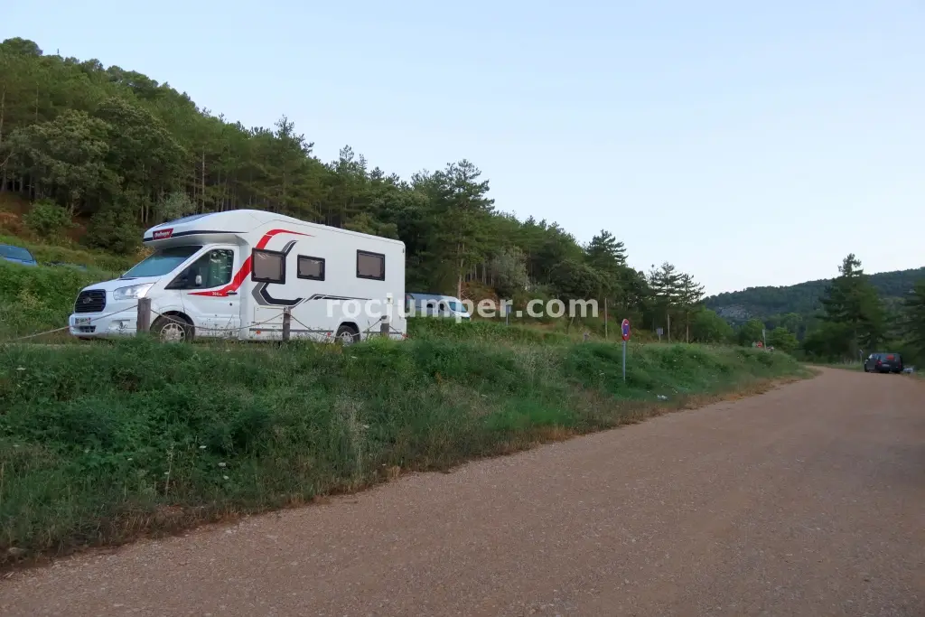
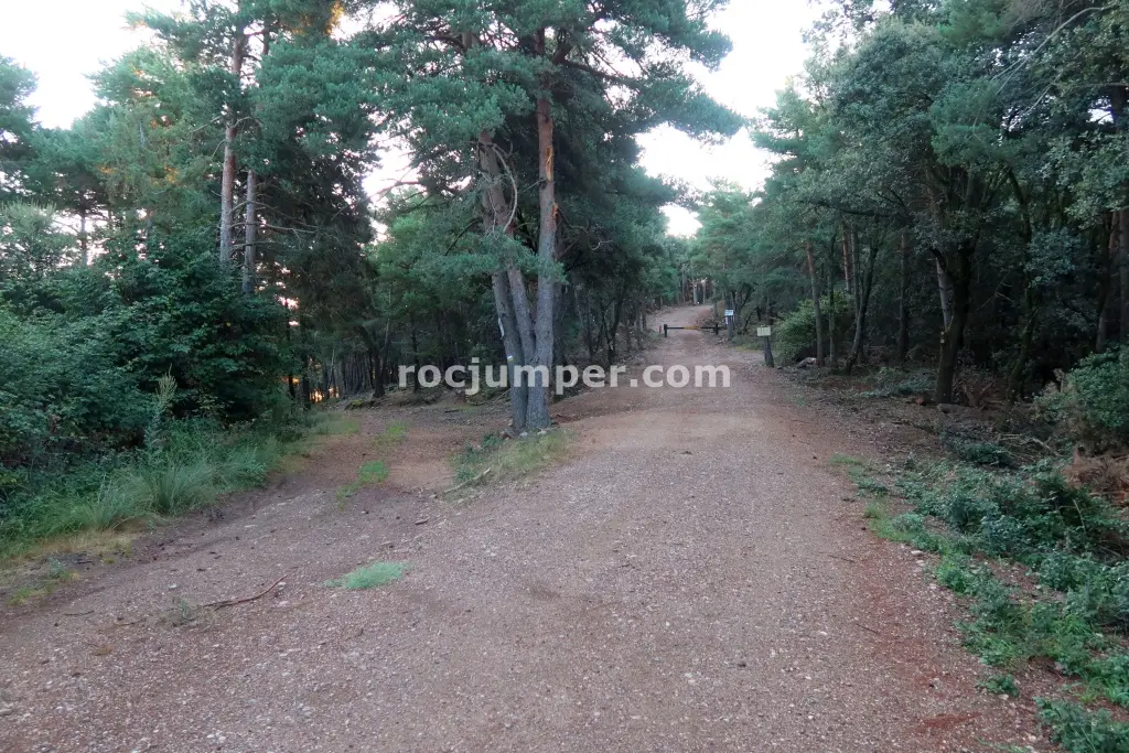
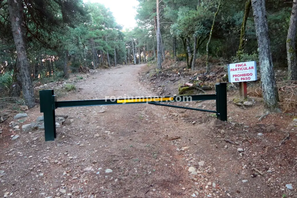
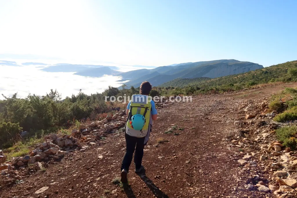
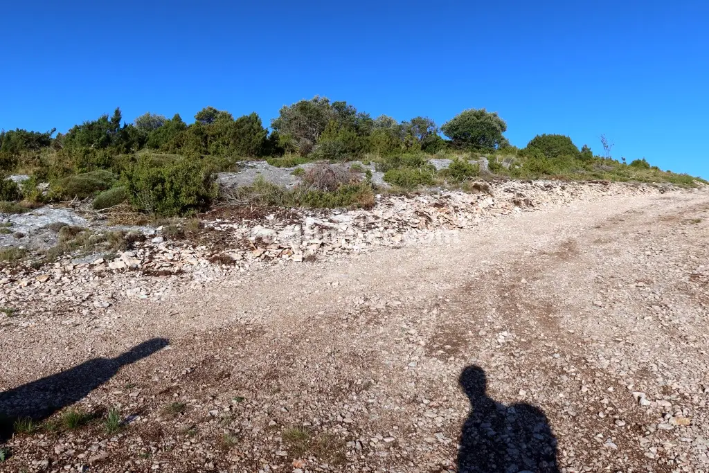
The Corredor de las Águilas near Montfalcó is a long, dry, and committing route with 10 rappels, the longest being 65m. It requires three 70m ropes and no wetsuit. The approach takes 1.5 hours from the upper parking at Collado de Brañal, following a track and then a faint path along the edge to the start, marked by a stone and a feather. The descent is sustained, starting with a 12m rappel from a tree. The second rappel is a very vertical 55m drop. R3 is a 40m rappel from a ledge into a hanging forest, landing on unstable terrain, with a fixed rope traverse to the left for safety before releasing the main rope. This canyon is a serious undertaking with no escape routes, demanding a full day (7 hours descent). The return walk is 2 hours. Good equipment with parabolts is reported, but the route's commitment grade (IV) indicates significant exposure and technical challenges.
The facts
- Grade
- v5-a1-IV
- Course length
- 200 m
- Vertical drop
- 400 m
- Where
- Montfalcó, Huesca
- Country
- Spain
- Coordinates
- 42.0520, 0.6551
- Approach
- 90 min
- In the canyon
- 420 min
- Walk out
- 120 min
- Total
- 630 min
Photos
Photos by Photo © RocJumper
Other canyons nearby
Frequently asked
How hard is Rápeles del Corredor de las Águilas Combinación?
Rápeles del Corredor de las Águilas Combinación is graded v5-a1-IV. The v is the vertical difficulty, the a is how demanding the water is, and the roman numeral is how committing the canyon is once you start.
Where is Rápeles del Corredor de las Águilas Combinación?
Rápeles del Corredor de las Águilas Combinación is in Montfalcó, Huesca, Spain. The coordinates above open the exact spot on a map.
How long does Rápeles del Corredor de las Águilas Combinación take?
About 630 min in total, counting the approach, the canyon itself and the walk back out. Water levels and the size of your group move that either way.
Can I log that I descended Rápeles del Corredor de las Águilas Combinación?
Yes. Open Rápeles del Corredor de las Águilas Combinación in the app, log the descent with the date and who came along, rate it and add your photos. It then counts on your profile.
Log this descent
Track the canyons you descend, with photos, ratings and the people you went with.
Available on iOS and Android