
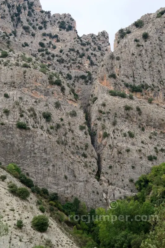
Barranco de Túnez
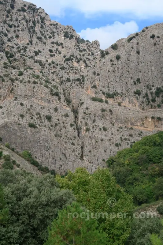
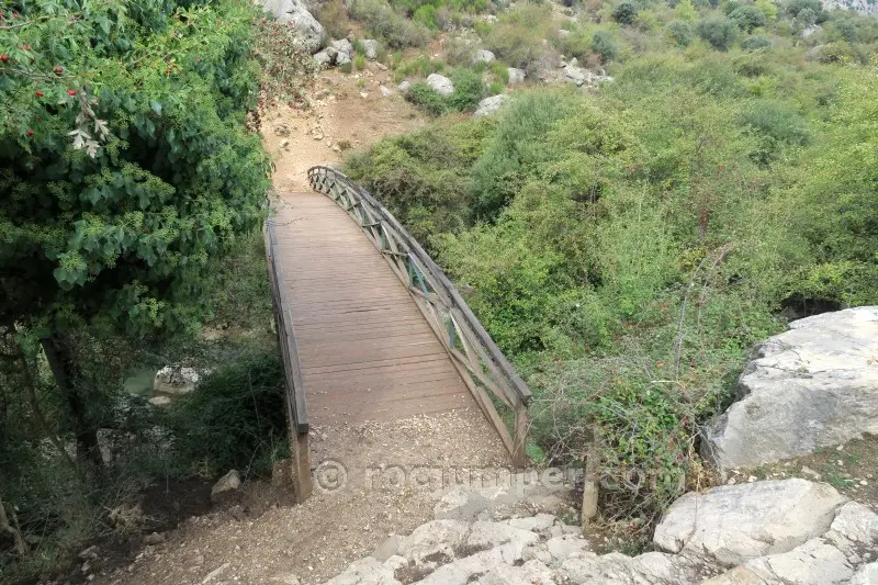
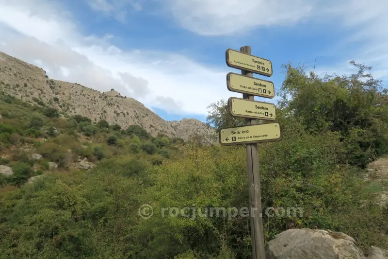
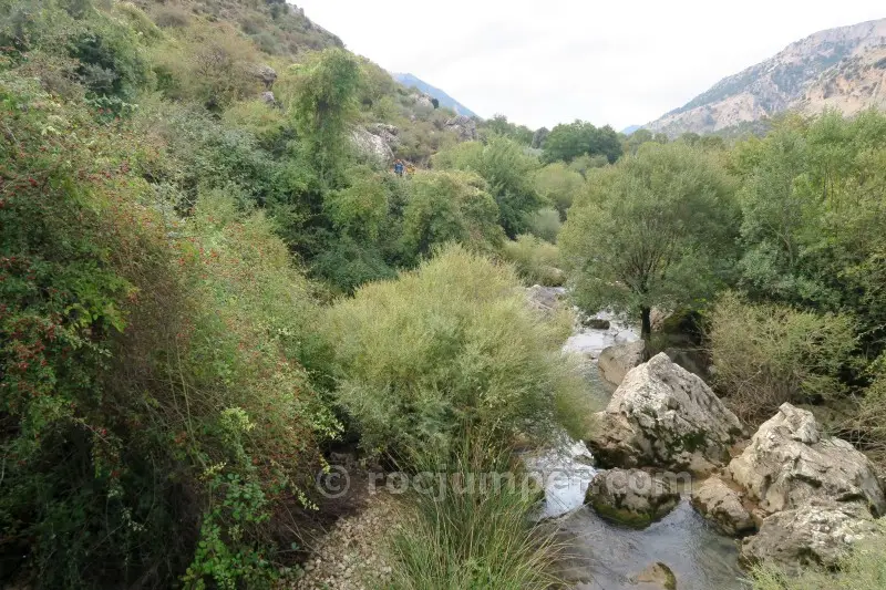
The approach to Barranco de Túnez is a 1.5-hour hike from Cortijo Nacimiento parking, following a path that climbs diagonally to a collado, then descends cross-country to the canyon bed. The route is dry and does not require a wetsuit. It features 8 rappels, with the longest being 43 meters, requiring two 50m ropes. The first rappel of 43m is from an improvised tree anchor, followed by a 6m rappel from a chemical anchor with a double ring, and a 4m rappel also from a chemical anchor. The descent covers 525 meters with a vertical drop of 160 meters and takes about 3 hours. There are no escape routes. The return walk is 15 minutes. The route is rated v4-a1-III, indicating a challenging vertical component in a dry environment. Be prepared for the initial rappel's anchor setup.
The facts
- Grade
- v4-a1-III
- Course length
- 525 m
- Vertical drop
- 160 m
- Where
- Castril, Granada
- Country
- Spain
- Coordinates
- 37.7969, -2.7814
- Approach
- 90 min
- In the canyon
- 180 min
- Walk out
- 15 min
- Total
- 285 min
Photos
Photos by Photo © RocJumper
Other canyons nearby
Frequently asked
How hard is Barranco de Túnez?
Barranco de Túnez is graded v4-a1-III. The v is the vertical difficulty, the a is how demanding the water is, and the roman numeral is how committing the canyon is once you start.
Where is Barranco de Túnez?
Barranco de Túnez is in Castril, Granada, Spain. The coordinates above open the exact spot on a map.
How long does Barranco de Túnez take?
About 285 min in total, counting the approach, the canyon itself and the walk back out. Water levels and the size of your group move that either way.
Can I log that I descended Barranco de Túnez?
Yes. Open Barranco de Túnez in the app, log the descent with the date and who came along, rate it and add your photos. It then counts on your profile.
Log this descent
Track the canyons you descend, with photos, ratings and the people you went with.
Available on iOS and Android