

El Cabezo
Valencia · 1,298 m
 Cims, sempre amunt
The mountains of the Levante, between the sea and the interior.
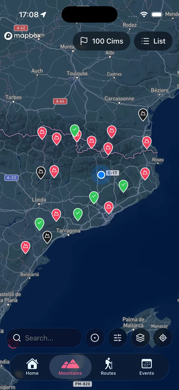
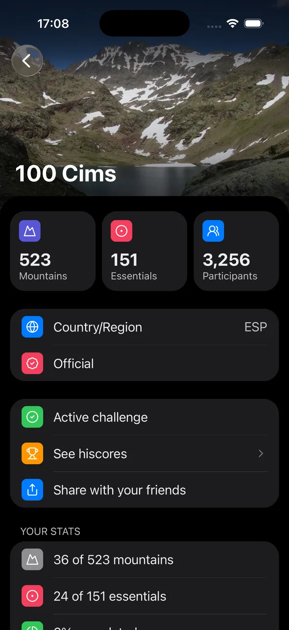
The Iberian Levante has mountains that often go overlooked: the Penyagolosa, the Calderón, the ranges of Valencia, Alicante and Murcia. They're mid-altitude summits with great scenery and mild weather for much of the year.
This challenge collects the most representative ones in a selection you can actually finish. It's perfect if you want to combine beach and mountain, or discover a lesser-known side of the peninsula.
With the app you carry the list on your phone and follow your progress, outing after outing.
Free on the App Store and Google Play. Log in with Apple or Google and you're set.
In the app, select the challenge. You can follow several at once.
When you reach the summit, open the app, add a photo and the date. Progress updates automatically.
A small sample from the challenge catalog.
Valencia · 1,298 m

Valencia · 952 m

Alicante · 812 m

Castellón · 1,813 m

Alicante · 1,054 m

Teruel · 1,837 m

Valencia · 600 m

Alicante · 1,558 m

Valencia · 841 m

Castellón · 1,028 m

Castellón · 959 m

Alicante · 1,406 m
The Penyagolosa (1,813 m), in the Valencian Community, is the icon of the challenge.
Almost never. These are walkable summits; only a few ridges need care on windy days.
Autumn, winter and spring. Summer can be very hot at low elevations.
Install the app, pick your challenge, start logging summits.
Available on iOS and Android