


Faro de Avión
Pontevedra · 1,181 m
 Cims, sempre amunt
The free, ad-free app to track your progress climbing the high point of every province of Spain: 47 summits, from Teide to the quiet roofs of the central plateau. iOS and Android.
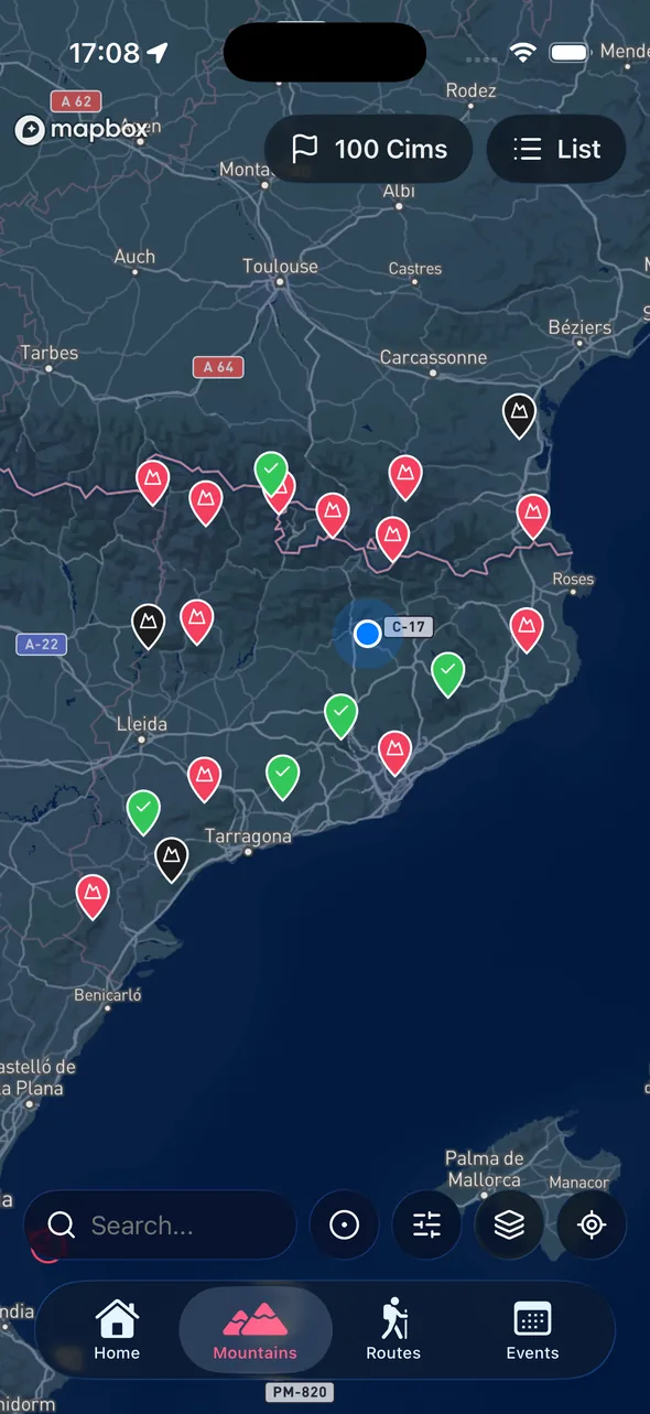
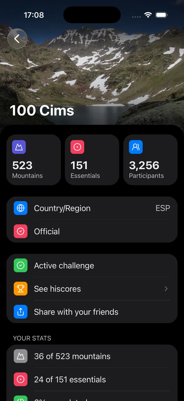
The Techos Provinciales are the highest point of each of the 50 provinces of Spain, plus the autonomous cities of Ceuta and Melilla. Five pairs of provinces share a roof — Gorbea, Torre Cerredo, Peñalara, Moncayo and Peña Trevinca — so the challenge gathers 47 distinct summits.
It is a journey across the whole geography of Spain: three-thousanders such as Teide (3,718 m, the roof of Spain), Mulhacén (3,479 m), Aneto (3,404 m) and Pica d'Estats (3,143 m); historic Pyrenean and Cantabrian peaks; southern Bético volcanoes and ranges; and modest plateau and Sierra Morena high points. Cims, sempre amunt keeps the count automatically.
Free on the App Store and Google Play. No complicated sign-up — log in with Apple or Google in seconds.
Select the Techos Provinciales challenge inside the app. All 47 summits appear with elevation, location and map points.
When you reach the summit, open the app, add a photo and date. Your count updates on its own and you can share it.
From Teide (3,718 m) to the Fuerte de Rostrogordo (135 m), via the most iconic summits of every corner of Spain.
Pontevedra · 1,181 m

Tarragona · 1,441 m

Ariège · 3,144 m

Valladolid · 932 m

Pyrénées-Orientales · 2,915 m

Sevilla · 1,128 m

Guadalajara · 2,274 m

Jaén · 2,167 m
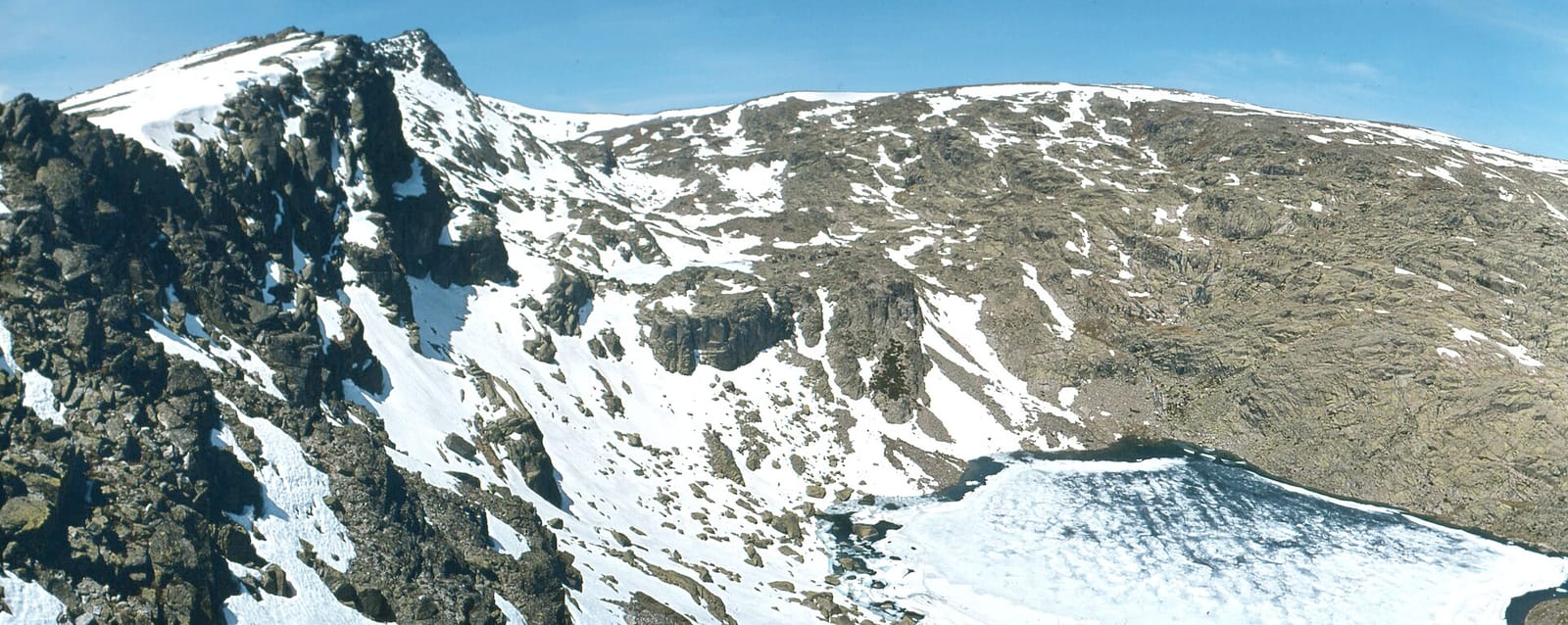
Salamanca · 2,428 m

Bizkaia · 1,482 m

Granada · 3,479 m

Huesca · 3,404 m
Forty-seven distinct summits. Spain has 50 provinces plus Ceuta and Melilla (52 territories), but five pairs share a roof — Gorbea, Torre Cerredo, Peñalara, Moncayo and Peña Trevinca — so the list collapses to 47.
The highest is Teide (3,718 m), the roof of Santa Cruz de Tenerife and of all Spain. The lowest is the Fuerte de Rostrogordo (135 m), the highest point in Melilla.
No. It is a personal challenge: the app lets you keep the count whether you are a federated member or not.
Yes. You can log any ascent, whatever its date — just add the summit with the corresponding date.
It depends on the roof: Pyrenean and Sierra Nevada three-thousanders are best in summer and early autumn; the Cantabrian and northern-plateau peaks hold a wide spring-to-autumn window; the southern and Mediterranean summits are ideal from autumn to spring.
Because the challenge aims for territorial completeness: the two autonomous cities are part of Spain and have their own highest point. Monte Anyera (349 m) in Ceuta and the Fuerte de Rostrogordo (135 m) in Melilla close out the list.
Install the app, follow the challenge and start marking summits. Free, ad-free, made by hikers.
Available on iOS and Android