
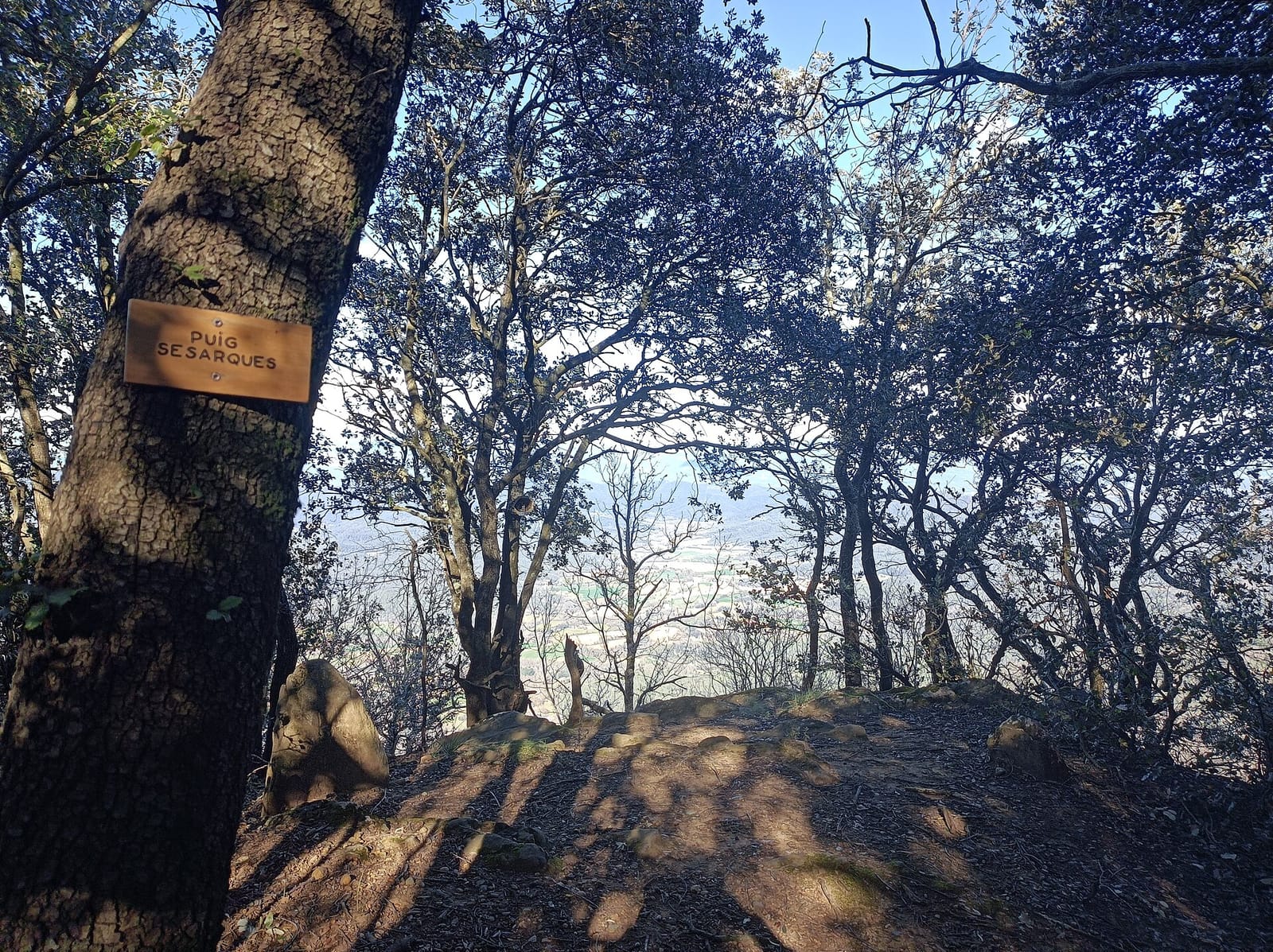
Puig Sesarques
Girona · 880 m
 Cims, sempre amunt
The free, ad-free app to track your progress climbing the high point of every county in Catalonia: 41 summits, from Pica d'Estats to Tibidabo. iOS and Android.
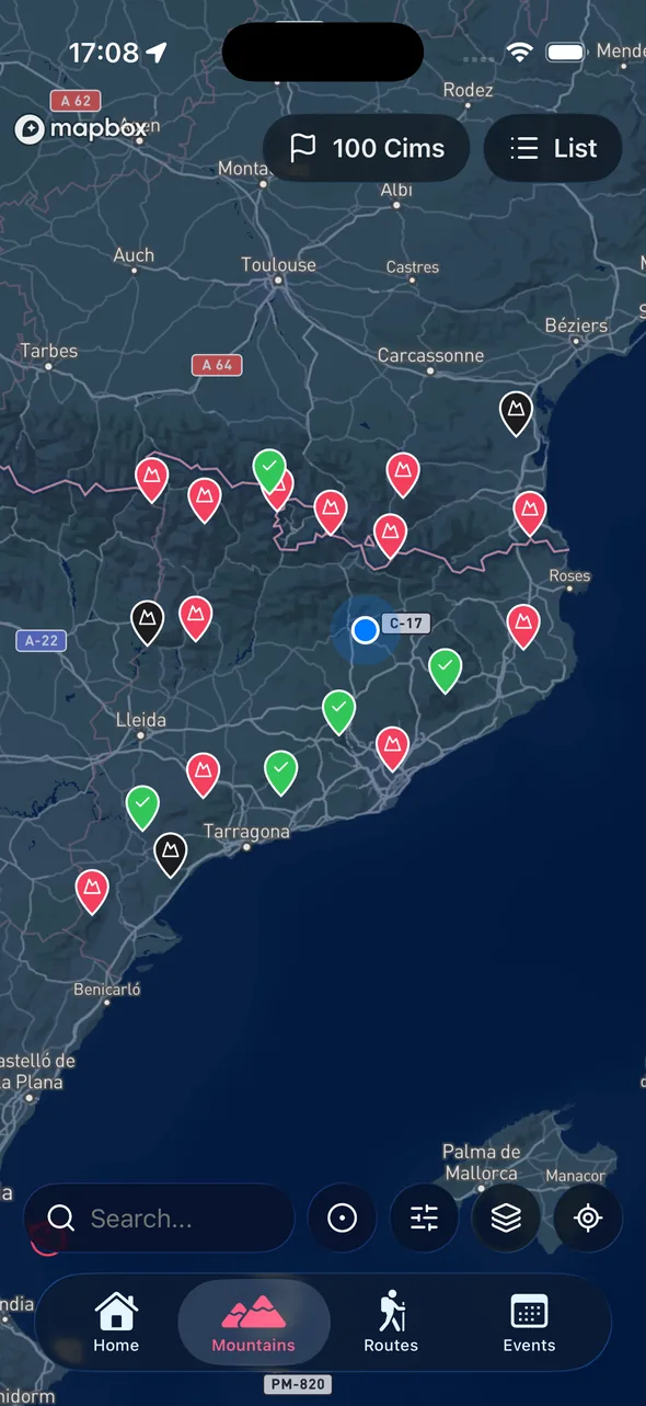
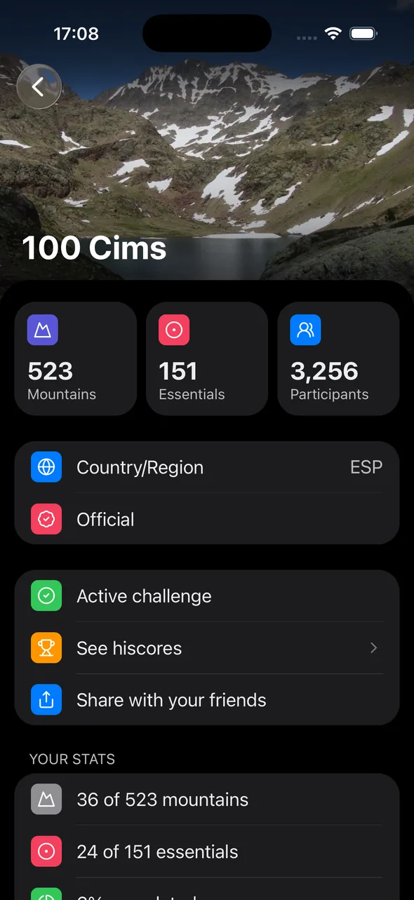
The comarcal high points are the highest peak of each county (comarca) of Catalonia. The region has 43 counties, but since Montserrat's Sant Jeroni crowns both l'Anoia and el Bages, and the Tossal de la Baltasana both el Baix Camp and la Conca de Barberà, the challenge gathers 41 distinct summits.
It is a journey across the whole country: Pyrenean three-thousanders such as Pica d'Estats (3,143 m, the roof of Catalonia), iconic Montseny peaks like Matagalls and Turó de l'Home, coastal hills such as Tibidabo, and modest plain-country high points like Tossal de l'Infern, just 301 m. Cims, sempre amunt keeps the count automatically.
Free on the App Store and Google Play. No complicated sign-up — log in with Apple or Google in seconds.
Select the Sostres Comarcals de Catalunya challenge inside the app. All 41 summits appear with elevation, location and map points.
When you reach the summit, open the app, add a photo and date. Your count updates on its own and you can share it.
From Pica d'Estats (3,143 m) to Tossal de l'Infern (301 m), via the most emblematic summits of every corner of the country.
Girona · 880 m

Tarragona · 1,201 m

Tarragona · 1,217 m

Lleida · 3,029 m
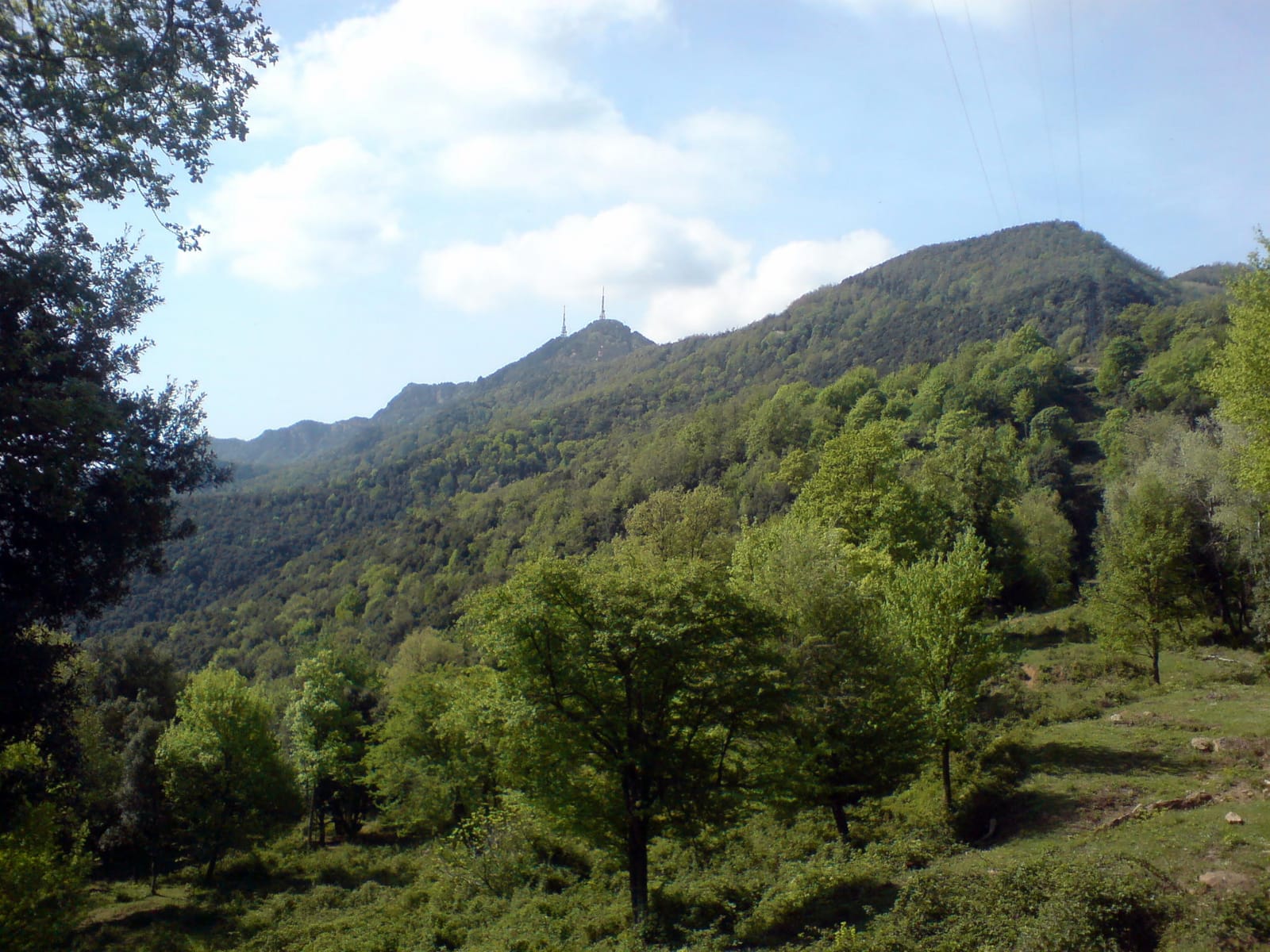
Girona · 991 m

Girona · 1,697 m

Pyrénées-Orientales · 2,915 m

Tarragona · 861 m

Lleida · 2,604 m
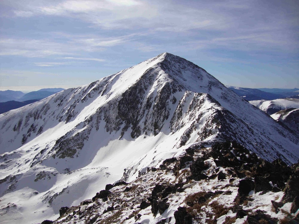
Lleida · 2,789 m
Lleida · 348 m
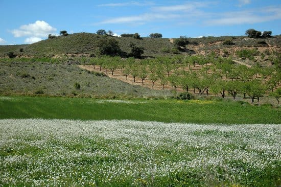
Lleida · 301 m
41 summits. Catalonia has 43 counties, but two pairs share a high point: Montserrat for l'Anoia and el Bages, and the Tossal de la Baltasana for el Baix Camp and la Conca de Barberà.
The highest is Pica d'Estats (3,143 m), the roof of the Pallars Sobirà and of all Catalonia. The lowest is Tossal de l'Infern (301 m), the roof of the Pla d'Urgell.
No. It is a personal challenge: the app lets you keep the count whether you are a federated member or not.
Yes. You can log any ascent, whatever its date — just add the summit with the corresponding date.
It depends on the summit: the Pyrenean three-thousanders are best in summer and autumn, while the southern and lowland high points are ideal in autumn, winter and spring.
The app works on trust: you log your summits with a photo and date, and your progress is recorded without paperwork.
Install the app, follow the challenge and start marking summits. Free, ad-free, made by hikers.
Available on iOS and Android