

Rocamala
Tarragona · 621 m
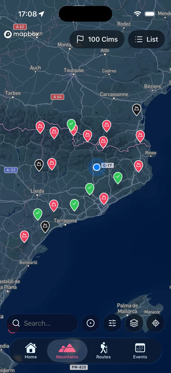
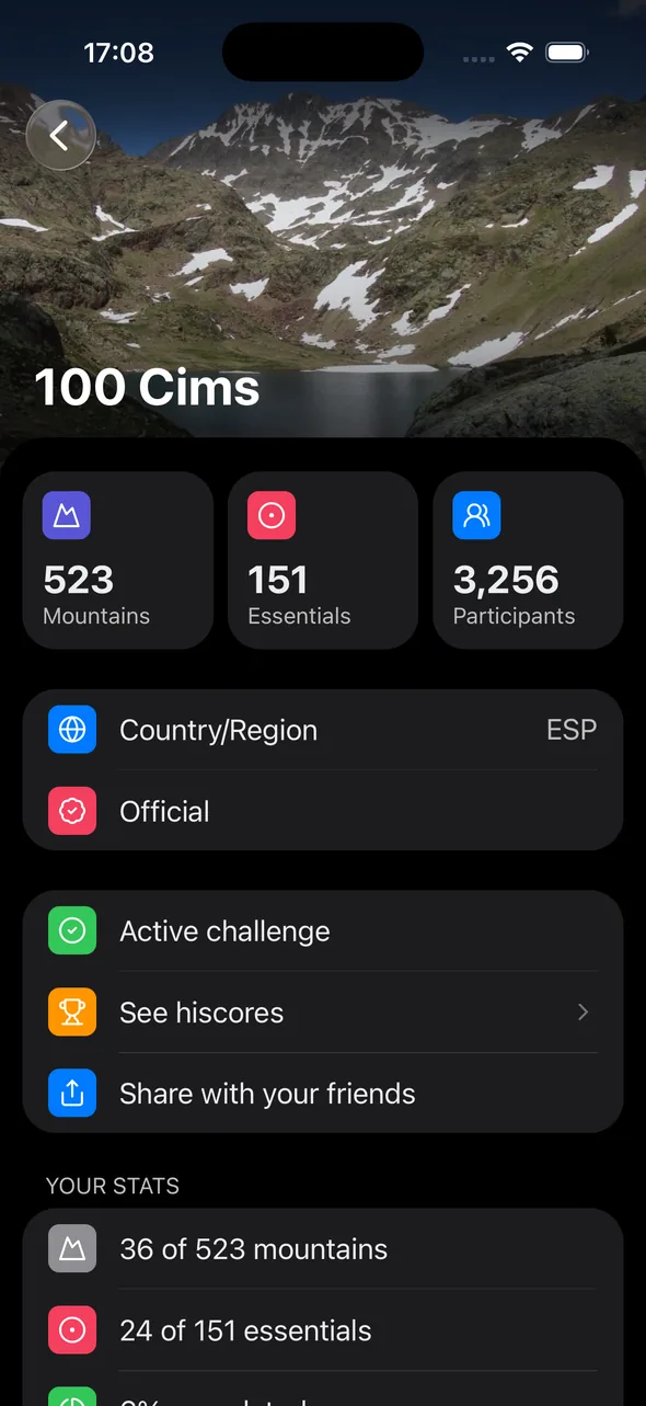
Highland Terra Alta is a collection of peaks and viewpoints in the Terra Alta region, in the south of Catalonia. They're mid-altitude mountains, reachable in a few hours, with open views over the Priorat, the Matarranya and the Ebro delta.
There are no three-thousanders and no alpine routes. This challenge is about discovering one of the most distinctive regions in the country on foot, one summit after another.
With Cims, sempre amunt you carry the list on your phone, log each ascent with a photo and a date, and see how far you've come without carrying notebooks or index cards.
Free on the App Store and Google Play. Log in with Apple or Google and you're set.
In the app, select the challenge. You can follow several at once.
When you reach the summit, open the app, add a photo and the date. Progress updates automatically.
A small sample from the challenge catalog.
Tarragona · 621 m

Tarragona · 1,181 m

Tarragona · 1,217 m

Tarragona · 1,070 m

Tarragona · 841 m

Tarragona · 706 m

Tarragona · 752 m

Tarragona · 1,072 m

Tarragona · 659 m

Tarragona · 1,017 m

Tarragona · 1,193 m

Tarragona · 538 m
La Tosseta Rasa, at 1,217 metres, is the highest point of the challenge.
Mostly, yes. Most summits are mid-morning outings on marked tracks and paths. A few need a bit more navigation.
Autumn, winter and spring. Summer in Terra Alta can be very hot.
Yes. Terra Alta is a wine region with its own designation of origin. Lots of people combine a summit and a winery in the same outing.
Install the app, pick your challenge, start logging summits.
Available on iOS and Android