


Pico Tres Bispos
León · 1,795 m
 Cims, sempre amunt
Galicia's mountains, from the Xistral to the Manzaneda.
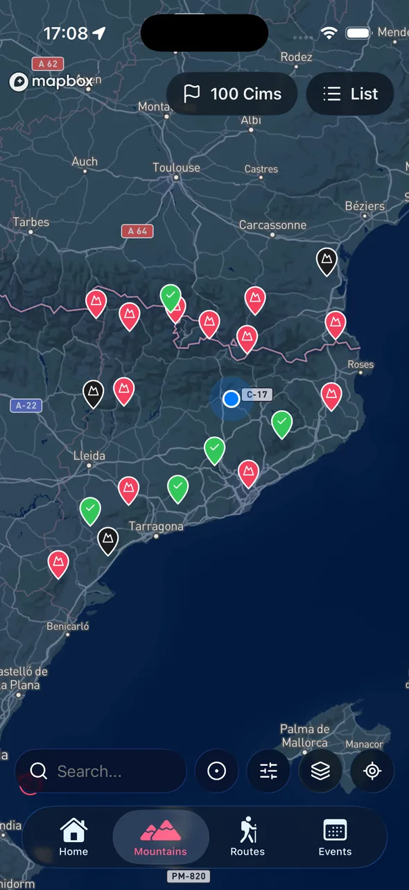
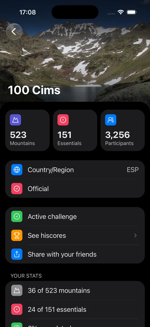
Galicia isn't three-thousander country, but it has rich mid-altitude mountains: the Xistral, the Manzaneda or the Oriental range share Atlantic forests, beech woods and ridges open to the northern winds.
This challenge collects the most representative summits of each Galician range. The outings combine nature, local culture and alternative Camino routes.
The app gives you the list, a page for each summit, and tracking of your progress as you travel around Galicia.
Free on the App Store and Google Play. Log in with Apple or Google and you're set.
In the app, select the challenge. You can follow several at once.
When you reach the summit, open the app, add a photo and the date. Progress updates automatically.
A small sample from the challenge catalog.
León · 1,795 m

Ourense · 2,066 m

Lugo · 1,615 m

Ourense · 2,127 m

Pontevedra · 969 m

Lugo · 1,187 m

Lugo · 929 m

Ourense · 1,225 m

Lugo · 1,131 m

Ourense · 1,539 m

León · 1,987 m

Ourense · 2,121 m
Cabeza de Manzaneda (1,781 m), in Ourense. It isn't alpine, but it dominates the whole region.
Spring and summer. Winter can be very wet and windy on the high ridges.
It varies. Some take a few hours and a few are a full day. The app shows the difficulty of each one.
Install the app, pick your challenge, start logging summits.
Available on iOS and Android