

Sant Roc i El Pas de la Història
Girona · 102 m
 Cims, sempre amunt
The peaks of the Girona region, to discover close to home.
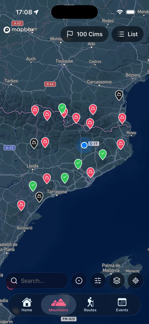
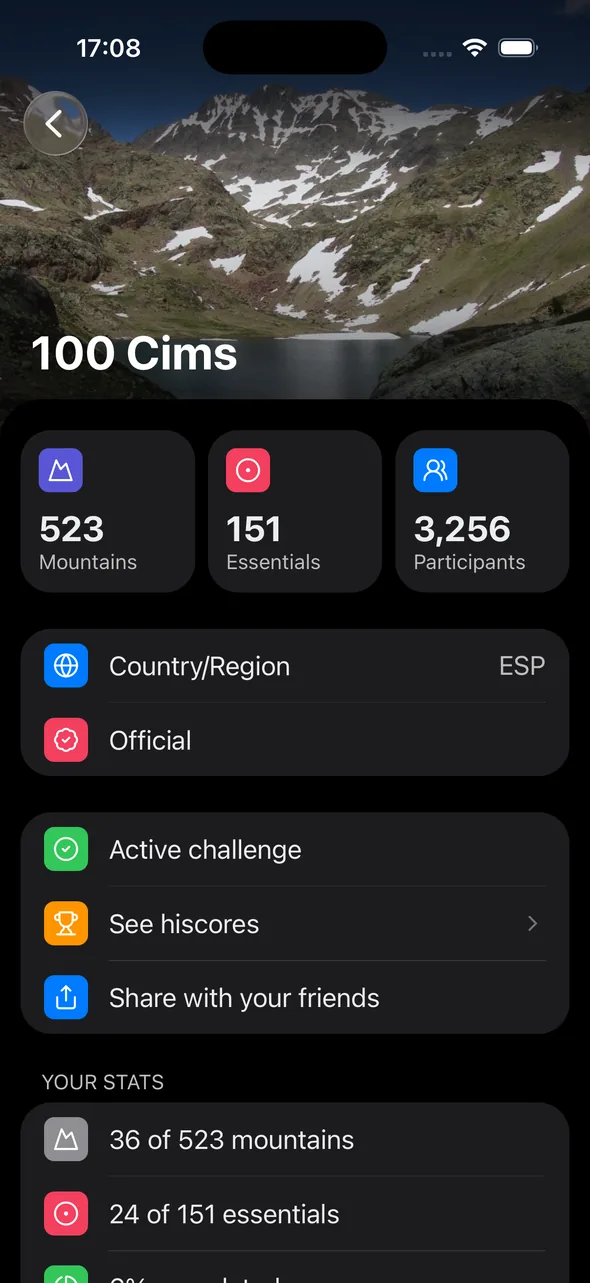
The Gironès has low-to-mid mountains: hills, ridges and rocky outcrops of a few hundred metres that overlook the plain and the Ter. There are no three-thousanders, but there's a collection of spots with history and clear views.
It's an ideal challenge to spread over a season, outing after outing, with no long trips and no high-mountain gear.
With the app you tick off each summit, add a photo and see your progress across the region.
Free on the App Store and Google Play. Log in with Apple or Google and you're set.
In the app, select the challenge. You can follow several at once.
When you reach the summit, open the app, add a photo and the date. Progress updates automatically.
A small sample from the challenge catalog.
Girona · 102 m

Girona · 500 m

Girona · 483 m

Girona · 464 m

Girona · 519 m

Girona · 318 m

Girona · 156 m

Girona · 307 m

Girona · 223 m

Girona · 685 m
Most of them, yes. Many summits are mid-morning hikes that families can manage.
Els Àngels and Montagut are among the most iconic in the Gironès, with views over the Costa Brava.
Yes. It's a low-altitude challenge; only a few days of strong tramuntana wind can get in the way.
Install the app, pick your challenge, start logging summits.
Available on iOS and Android