
Canal d’en Marc
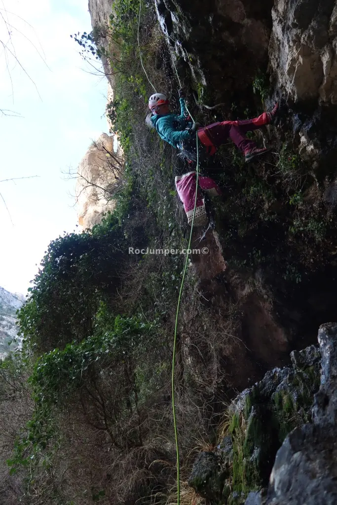
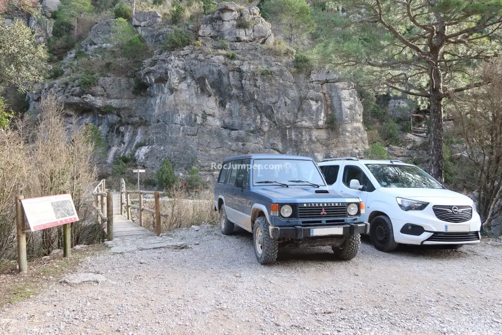
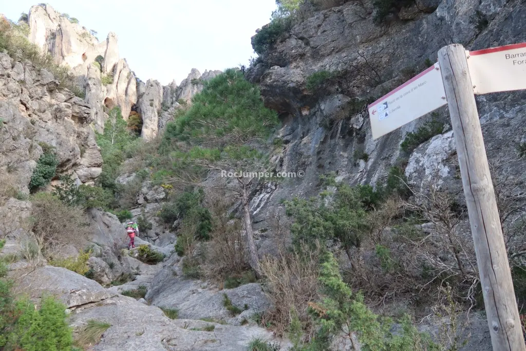
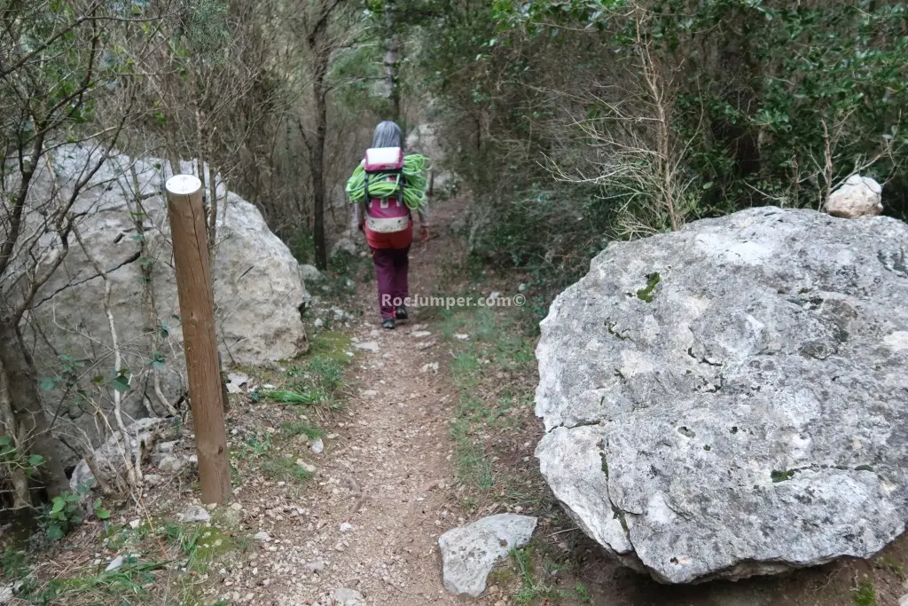
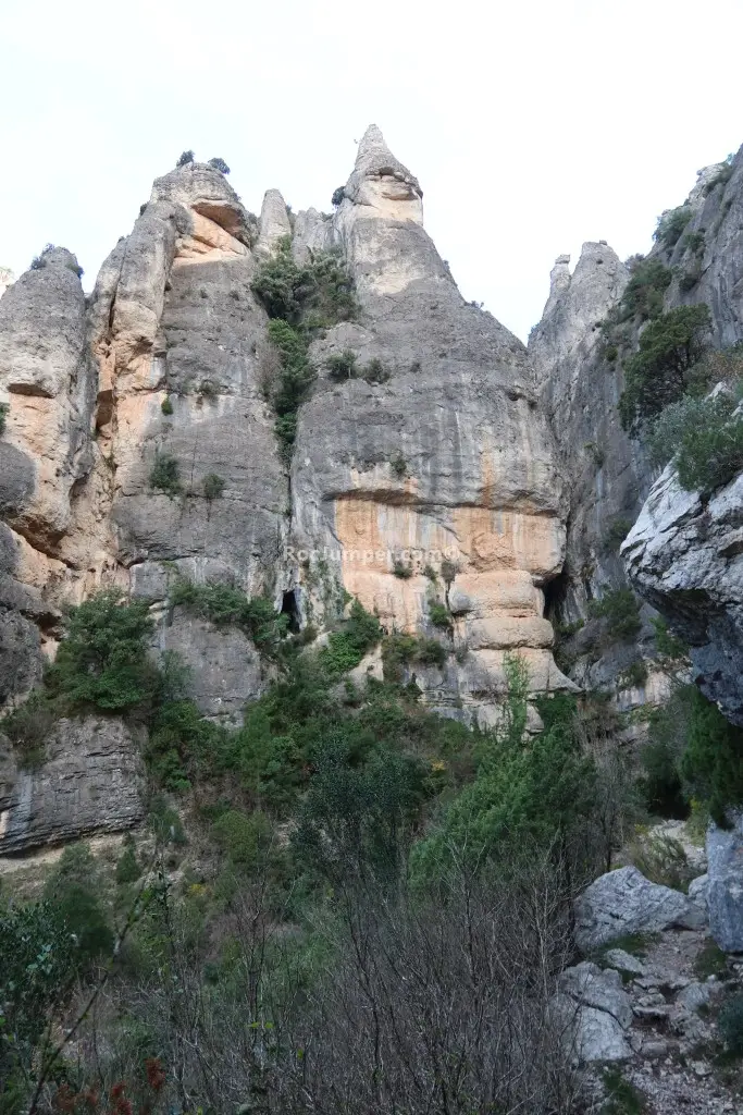
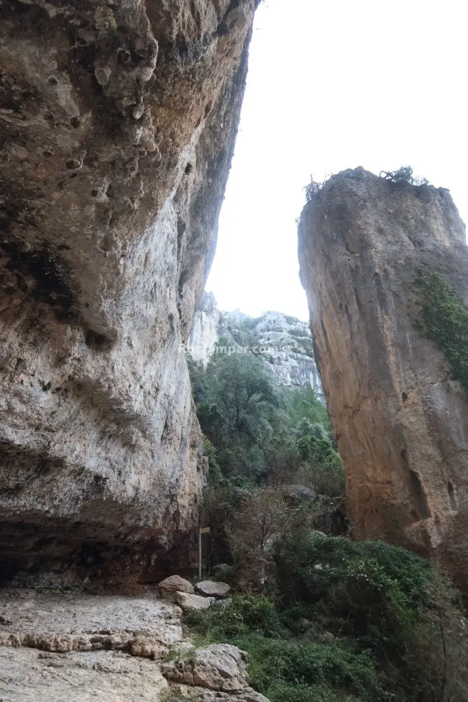
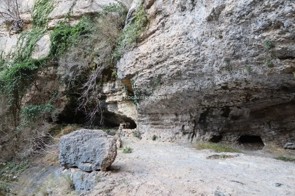
The approach to Canal d'en Marc starts from Mas de Barberans. Drive 3.3 km on a track suitable for cars to a parking area near a bridge. Cross the bridge and follow the well-maintained hiking path. At Cova d'en Marc, turn right uphill, passing a cable handrail, then exit left onto a marked trail to R1, taking about 30 minutes. This canyon is mostly dry (a1) but has avoidable pools via guided rappels. It features 7 rappels over 300m, with excellent equipment including chemical bolts, parabolts, and pre-installed handrails. The first rappel is 8m, followed by a 20m rappel, and a 15m rappel accessed through a hole. A 2x20m or 2x40m rope is suitable, and a wetsuit is optional. The descent takes 2 hours, and the return is a quick 10-minute walk back to the car. There is one escape route available.
The facts
- Grade
- v3-a1-II
- Course length
- 300 m
- Vertical drop
- 115 m
- Where
- Mas de Barberans, Tarragona
- Country
- Spain
- Coordinates
- 40.7346, 0.3742
- Approach
- 30 min
- In the canyon
- 120 min
- Walk out
- 10 min
- Total
- 160 min
Photos
Photos by Photo © RocJumper
Other canyons nearby
Frequently asked
How hard is Canal d’en Marc?
Canal d’en Marc is graded v3-a1-II. The v is the vertical difficulty, the a is how demanding the water is, and the roman numeral is how committing the canyon is once you start.
Where is Canal d’en Marc?
Canal d’en Marc is in Mas de Barberans, Tarragona, Spain. The coordinates above open the exact spot on a map.
How long does Canal d’en Marc take?
About 160 min in total, counting the approach, the canyon itself and the walk back out. Water levels and the size of your group move that either way.
Can I log that I descended Canal d’en Marc?
Yes. Open Canal d’en Marc in the app, log the descent with the date and who came along, rate it and add your photos. It then counts on your profile.
Log this descent
Track the canyons you descend, with photos, ratings and the people you went with.
Available on iOS and Android