
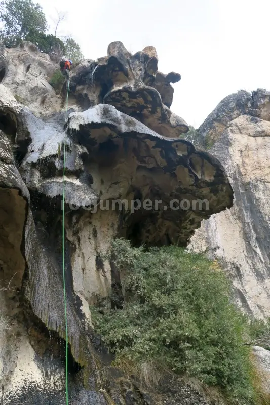
Barranco Palanques
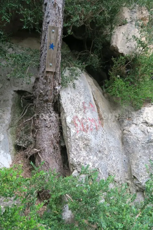
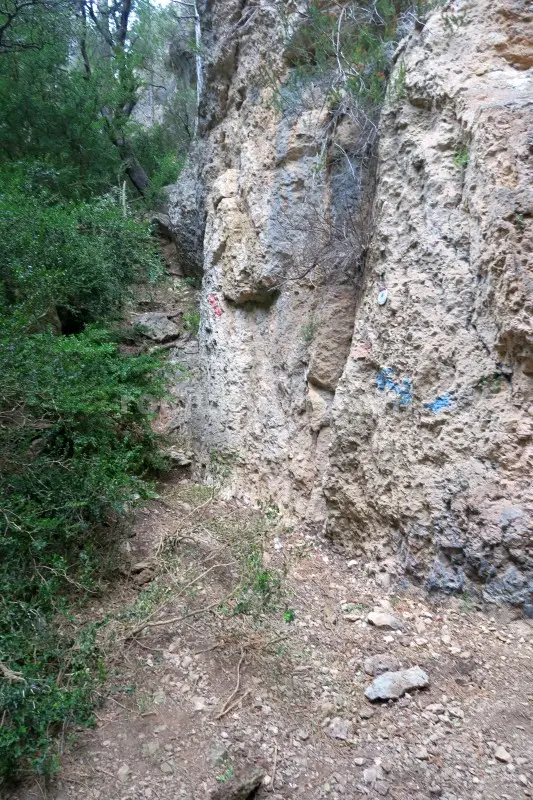
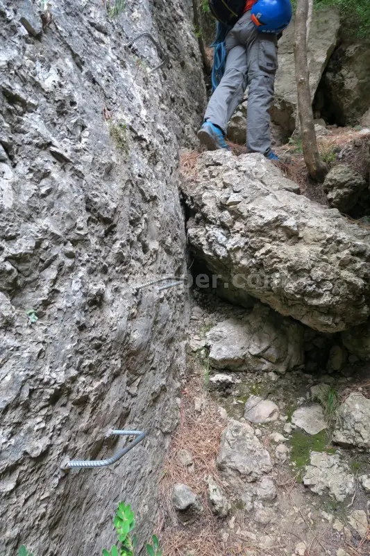
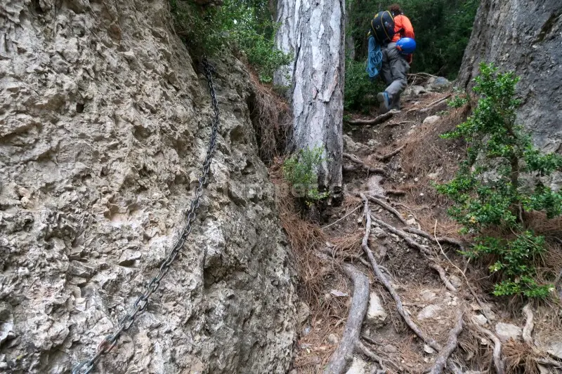
Barranco Palanques, near Beceite, requires a 2-hour approach from the paid parking area at Parrissal. The path follows the Parrissal walkways, passing cave paintings, then branches left at the Pas de Romeret K2, following blue stars of Estels del Sud. Expect equipped sections with fixed ropes and scrambling, including Pas de la Canaleta, where a broken rope may need replacement. After a steep ascent and some off-trail navigation, you reach the first of 12 rappels. The longest rappel is 40 meters. The canyon is mostly dry, requiring a wetsuit only after heavy rains. Anchors are a mix of natural and spit/parabolt, generally in good condition. A 2x40m rope is needed. This is a vertical canyon with significant elevation changes over a short course. The return walk takes 45 minutes.
The facts
- Grade
- v4-a1-III
- Course length
- 450 m
- Vertical drop
- 240 m
- Where
- Beceite, Teruel
- Country
- Spain
- Coordinates
- 40.8308, 0.1824
- Approach
- 120 min
- In the canyon
- 180 min
- Walk out
- 45 min
- Total
- 345 min
Photos
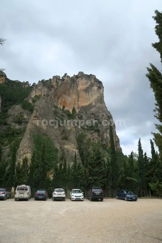
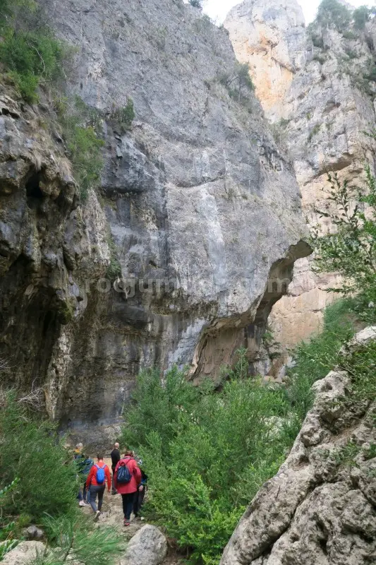
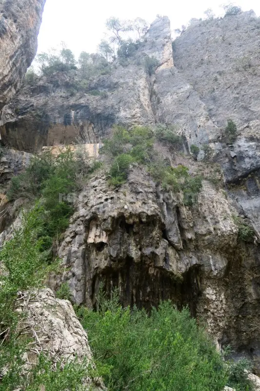
Photos by Photo © RocJumper
Other canyons nearby
Frequently asked
How hard is Barranco Palanques?
Barranco Palanques is graded v4-a1-III. The v is the vertical difficulty, the a is how demanding the water is, and the roman numeral is how committing the canyon is once you start.
Where is Barranco Palanques?
Barranco Palanques is in Beceite, Teruel, Spain. The coordinates above open the exact spot on a map.
How long does Barranco Palanques take?
About 345 min in total, counting the approach, the canyon itself and the walk back out. Water levels and the size of your group move that either way.
Can I log that I descended Barranco Palanques?
Yes. Open Barranco Palanques in the app, log the descent with the date and who came along, rate it and add your photos. It then counts on your profile.
Log this descent
Track the canyons you descend, with photos, ratings and the people you went with.
Available on iOS and Android